Hikes in Ketchikan - Near Knudson Cove!

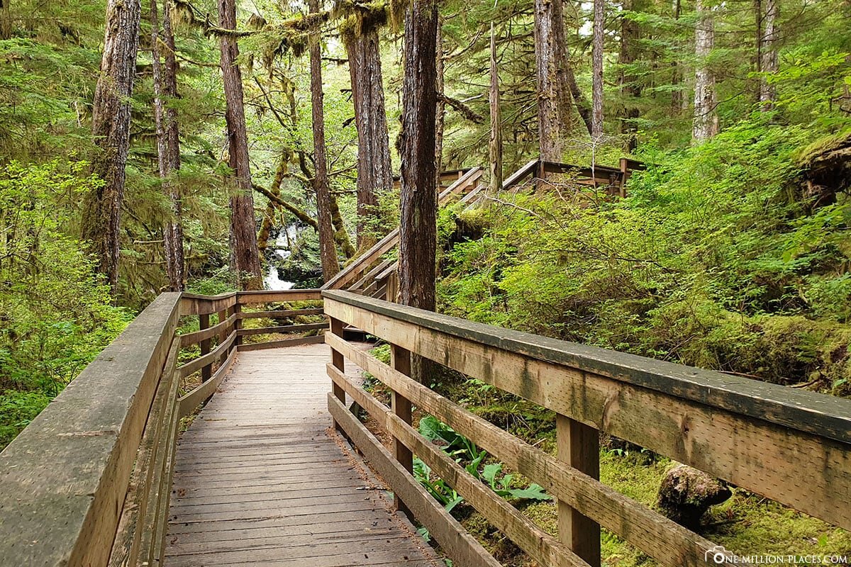
Settlers Cove / Lunch Creek Trail: 4 miles from KCM. Turn left on Tongass Highway, making your way to Settlers Cove State Recreation Site. The trailhead begins from the parking lot and parallels the beach to start. Lunch Falls is an easy mile round trip walk that leads to Lunch Creek Bridge where you can walk a loop around, or continue on up stairs where you can go on for another 4.2 miles (one way) to Lake Emery Tobin, a more difficult trail.

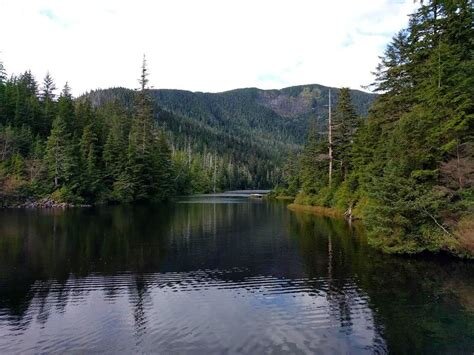
Ward Lake: 9.5 miles south from KCM, down Tongass Hwy, turn left on Revilla Road, look for the signage for the turn off on your right. This is a 1.3 mile walk around the lake. This is a well maintained trail that is an nice and easy walk for all ages.
Coast Guard Beach: 1.5 miles from KCM. Turn right on N. Point Higgins Road and follow to the end of the road- Point Higgins Elementary. The trail starts from the parking lot. It's a gentle 1 mile (one way) trail that leads to Coast Guard beach where you can look out to the north end of Gravina Island, Vallenar area, and Guard Island. Enjoy the beach- sunbathing, beach combing, or make a small beach fire and roast some s'mores.

Carlanna Lake: 13 miles south from KCM. This is a fairly easy 1.5 mile (one way) trail that starts with a steep gravel incline that takes you to the dam of the lake, .25 mile. From there you can enjoy the gentle walk around the lake. For more of a challenge you can continue beyond, following the trail up to the ridge.
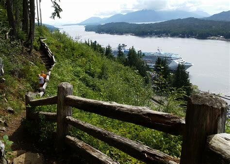
Rainbird Trail: 13 miles south from KCM, down Tongass Hwy, turn left on 3rd Ave, follow through and passed the avenues, the trailhead and parking will be on your left. This hike starts with stairs. It's a medium to difficult hike that is 1.3 miles one way. Along the trail you will see a beautiful view about the city of Ketchikan and look out to Tongass Narrows.
Deer Mountain: 16 miles south from KCM, through Ketchikan to Deermount Street, right on Ketchikan Lakes Road, you will see a sign for the trailhead and the junction at the top of the hill. This is a difficult hike that takes you up 2,600 feet in elevation gain, being 2.75 miles one way. It's estimated to take 3.5 hours one way. At the top is beautiful views of the city of Ketchikan, mountain ranges, mountain lakes, and outer islands.